Update 5:20am on Tuesday 17 November 2026
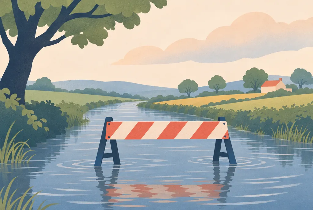
The River Wid at Mountnessing is now about 20cm above normal, compared with about 10cm previously.
The Environment Agency classified the gauge as high, with a reading of 0.607m on 17 November 2026. A high river-level reading is not, by itself, a flood warning.
The River Wid at Mountnessing is about 20cm above normal, with 10mm or more of rain forecast.
The reading is for the river gauge at Mountnessing. It does not show whether a particular home or road is at risk.
What does the River Wid reading mean?
The Environment Agency describes the river level at Mountnessing as high. A high reading is not, by itself, a flood warning or proof that flooding is taking place; alerts and warnings are issued separately.
How can Mountnessing residents check flood risk?
Check the official GOV.UK flood service for current warnings and alerts. Recheck if conditions change, and follow any advice issued for your area.
About the figures
The Environment Agency’s river-level reading for the River Wid at Mountnessing was published on 18 November 2026. The figures describe conditions at that gauge and do not establish the risk to an individual property.