Latest Brentwood news
All Essex newsWeather LiveFlood warnings Brentwood storm overflows spilled for 449 hours in 2025
The total was down from 1,816 hours in 2024. 7 of the 10 monitored overflows spilled during 2025.Schools Brentwood Ursuline leads English and maths results across 5 Brentwood schools
Across 5 schools in Brentwood, 72.1% of 991 pupils achieved grade 4 or above in English and maths in 2025/26.Business 59 new companies in Brentwood in October 2026
Brentwood had 59 new companies in October 2026, down from 83 the month before.Planning 3 protected-tree applications listed for October 2026
3 applications for work to protected trees are listed in Brentwood and Ingatestone for October 2026.

Living in Brentwood
Brentwood in numbers
From official figures.
- 55,340residents
- 7.1crimes per 1,000
- £520kaverage home
- 166.2paverage petrol
- 77%rated five for hygiene
Figures from the 2021 Census, police.uk, HM Land Registry, the Fuel Finder service and the Food Standards Agency.
More stories
- WeatherFog forecast over areas of 3 Essex townsFog is forecast over about 81% of Stansted Mountfitchet, 52% of Harlow and 31% of Waltham Abbey.
- CrimeViolence and sexual offences were Brentwood’s largest recorded crime category in 2025A total of 4653 crimes were recorded in Brentwood in 2025. August was the busiest month, with 460 recorded crimes.
- Power cutsPower turned off in Brentwood area for emergency repairsAn unplanned power cut is affecting the RM4 1 postcode area. Supplies are expected to be restored by 4:45pm on Friday 20 November 2026.
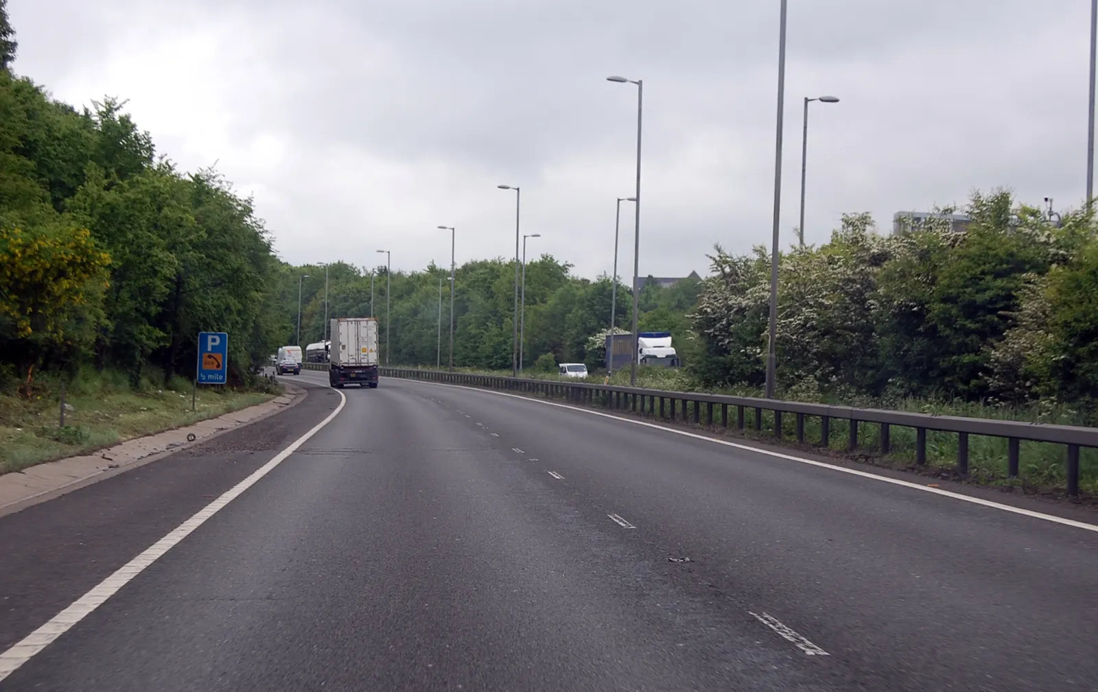
- RoadworksA12 closure between M25 Jct 28 and Ingatestone plannedA carriageway closure on the A12 in both directions is planned from 9:00pm on Monday 16 November 2026 to 5:00am on Tuesday 24 November 2026. The expected delay is slight (less than 10 mins).

Also worth a read
- Brentwood food hygiene: 270 businesses have the top ratingOf 349 businesses with a rating in November 2026, 270 (77%) were rated 5, while 6 were rated 1. No businesses were rated 2 or 0.
- Brentwood Ofsted figures show 2 schools with report cardsOfsted listed 19 state-funded schools in Brentwood in figures published to October 2026. Both schools with report cards had at least one area rated exceptional or strong.
- Brentwood crime fell 1% in September, while anti-social behaviour rose 48%Police recorded 391 crimes in Brentwood in September 2026, compared with 396 a year earlier.
- A12 southbound closure near Brentwood planned from Saturday 21 NovemberA carriageway closure is planned on the A12 southbound between Jct 12 and 11 for maintenance on behalf of National Highways.
- Brentwood's highest-priced home sale was £1,499,999A detached house in Brentwood was the highest-priced home sold, as 76 homes changed hands.
- 10 of 14 Brentwood food hygiene ratings were 5Of 14 food hygiene ratings given in Brentwood, 10 (71%) were 5.
Happening nearby
- M11 southbound lane closure to start at 9:00pm on FridayA lane closure between Jct 7 and Jct 6 in Epping Forest is scheduled to begin on Friday 27 November 2026 for horticultural work.
- A13 eastbound closure planned near Thurrock on 26 NovemberThe A13 eastbound between Lakeside Interchange and Wennington Lane, including the slip road, is scheduled to close for electrical works.
- Waltham Abbey, Epping and Chipping Ongar listed at -1°CTemperatures for the 3 places are listed at -1°C.
- Unplanned power cut affects 2 properties in BillericayAn unplanned power cut is affecting 2 properties in the CM12 9 postcode area.
- 1755 crimes recorded in Stanford-le-Hope in 2025The busiest month was April, when 171 crimes were recorded.
- Basildon recorded 15088 crimes in 2025There were 15088 recorded crimes in Basildon in 2025. July was the busiest month, with 1428.

Month in review
Brentwood October 2026
October 2026 in Brentwood, in figures. Turn the pages on its crime, house prices, jobs, new businesses and food hygiene.
- Crimes recorded, September
- 391
- Average price, September
- £520,447up 0.2% on a year earlier
- Homes sold, August
- 76registered so far
Roadworks & closures
Roadworks in Brentwood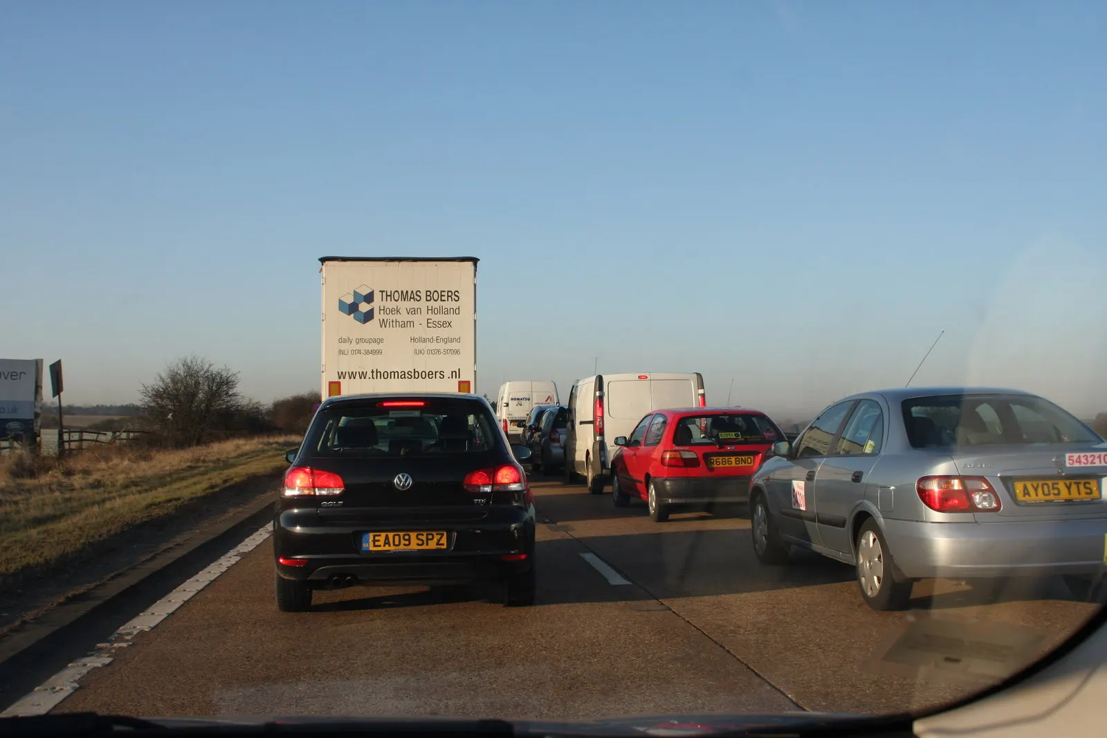
Fuel prices today
Fuel prices in Brentwood
Find the cheapest fuel near you
Enter your postcode to compare the forecourts around you.
Powered by PetrolFox
Petrol
E10166.7paverage across 9 forecourts
165.9p lowest168.9p highest
Cheapest petrol
 Brentwood Esso ExpressLondon Rd, Brentwood£66.36 for 40 Lsave £0.32 vs avg165.9pa litre
 Ingrave SF Connect130 Brentwood Road, Brentwood£66.36 for 40 Lsave £0.32 vs avg165.9pa litre
- MFG WarleyA127 Southend Arterial Road, Little Warley / Brentwood£66.36 for 40 Lsave £0.32 vs avg165.9pa litre
Diesel
B7196.8paverage across 8 forecourts
195.9p lowest197.9p highest
Cheapest diesel
- Brentwood Esso ExpressLondon Rd, Brentwood£78.36 for 40 Lsave £0.36 vs avg195.9pa litre
- Ingrave SF Connect130 Brentwood Road, Brentwood£78.36 for 40 Lsave £0.36 vs avg195.9pa litre
- Ongar Road SF Connect377 Ongar Road, Brentwood£78.36 for 40 Lsave £0.36 vs avg195.9pa litre
Weather and warnings
Weather in Brentwood
Weather now
Brentwood
6°
Partly cloudy
High 6°Low 4°Feels like 3°
Next 12 hours
- Now5°
- 9pm5°
- 10pm5°
- 11pm4°
- 12am4°
- 1am3°
- 2am4°
- 3am5°
- 4am5°
- 5am5°
- 6am5°
- 7am5°
Five-day forecast
- TonightLow 4°High 6°Cloudy
- TomorrowLow 2°High 7°Partly cloudy
- TueLow 2°High 6°Cloudy
- Wed0.1 mmLow 3°High 6°Cloudy
- ThuLow 2°High 4°Cloudy
Forecast from MET Norway, CC BY 4.0. Daily figures worked out from the hourly forecast. Sunrise, sunset and the moon are calculated.

Crime, fire and power cuts
Crime in Brentwood 460crimes recorded in August 2025
Council meetings and local politics
Council meetings in Brentwood 2council meetings this week
Homes, planning and schools
Planning in Brentwood 37planning applications
- Discharge of Condition 3 (Sustainable Drainage Features) of application 26/00395/HHA (Construction of an outbuilding for use as a home office/games room).
- Discharge of Condition 4 (Sustainable Drainage Features) of application 26/00624/HHA (Removal of existing porch. Construction of open oak porch, ,drop cil of bay window and add pitch roof, single storey rear extension x6 rooflights with raised patio area and alteration to fenestration)
- Remove rear pitched roof, remove hip and form gable. Proposed flat roof dormer and roof windows to front elevation. Proposed crown top rear roof.
Schools Brentwood Ofsted listings show 5 report cards with strong or exceptional areas
Ofsted lists 31 state-funded schools in Brentwood, with information current to October 2026. All 5 schools with a report card have at least one area rated exceptional or strong, while none have an area rated as needing attention or urgent improvement.Planning Application for a Lawful Development Certificate for a proposed use or development for: construction of a new single storey outbuilding
Planning Discharge of Condition 2.1 (Contamination Risks) of application 25/01200/PNCOU (Prior notification under schedule 2, Part 3, Class MA for the change of use to part of the existing Office building (Class E) into residential (Class C3) to create 22 self contained residential units.Determination of whe
Planning Two storey side extension to existing dwelling
Planning Rear ground floor single storey extension
Planning Non material amendment to application 25/00666/FUL (New residential development comprising the demolition of the existing house known as Alexander house. Proposed construction of 8 no. new dwellings and the conversion of an existing building to form 1 no. single storey dwelling together with associa
Planning Single storey rear extension and garden room
Planning Single storey rear extension. The proposed extension would extend 6m beyond the rear wall of the original dwelling, the maximum height of the proposed extension would be 3m and the proposed eaves height would be 3m.
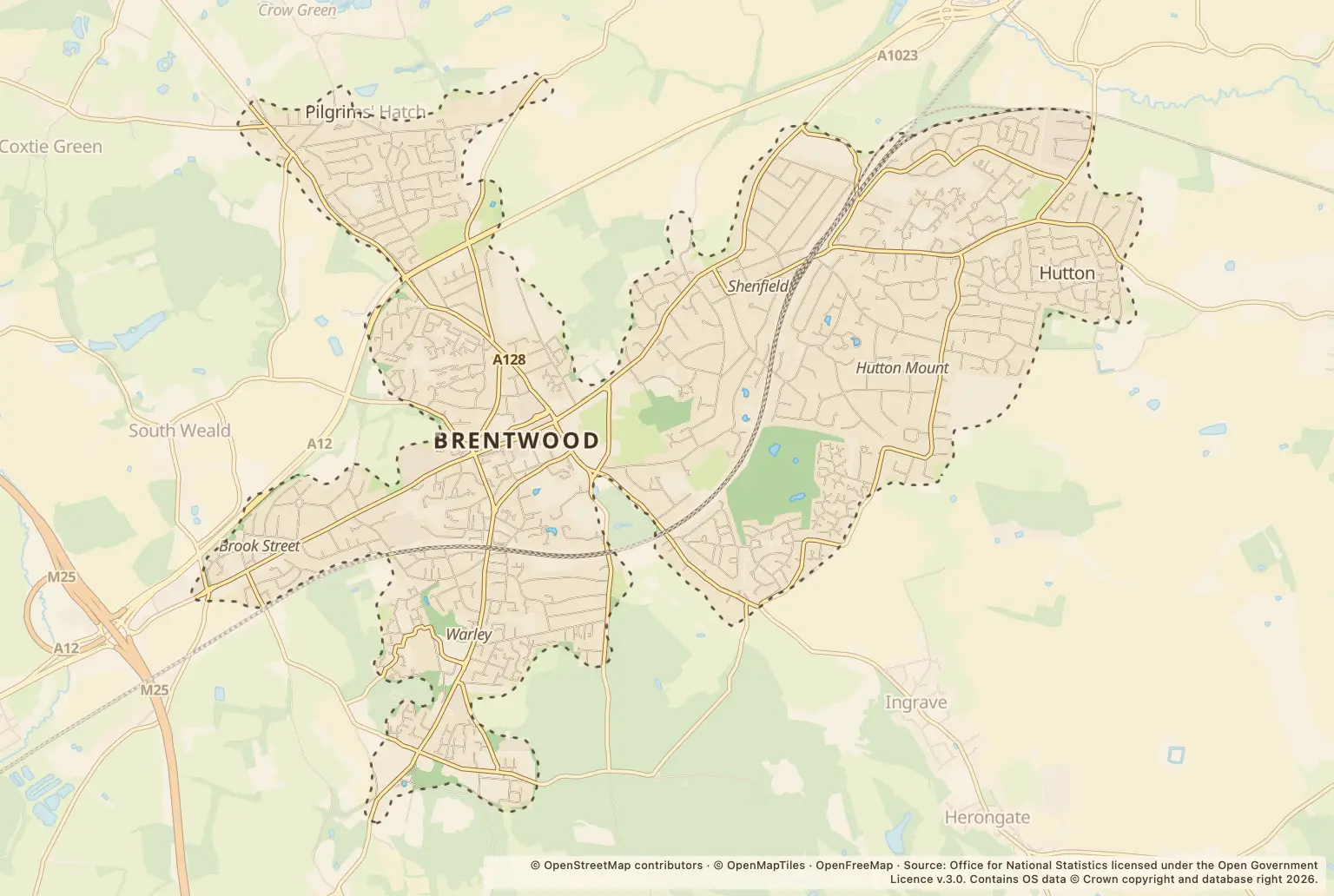
Map of what's happening around Brentwood
- Planning
- Petrol stations
Warnings and planning in Brentwood
Planning Discharge of Condition 3 (Sustainable Drainage Features) of application 26/00395/HHA (Construction of an outbuilding for use as a home office/games room).
Planning Discharge of Condition 4 (Sustainable Drainage Features) of application 26/00624/HHA (Removal of existing porch. Construction of open oak porch, ,drop cil of bay window and add pitch roof, single storey rear extension x6 rooflights with raised patio area and alteration to fenestration)
Planning Remove rear pitched roof, remove hip and form gable. Proposed flat roof dormer and roof windows to front elevation. Proposed crown top rear roof.
Planning Application for a Lawful Development Certificate for a proposed use or development for: construction of a new single storey outbuilding
Planning Discharge of Condition 2.1 (Contamination Risks) of application 25/01200/PNCOU (Prior notification under schedule 2, Part 3, Class MA for the change of use to part of the existing Office building (Class E) into residential (Class C3) to create 22 self contained residential units.Determination of whe
Planning T1 Sycamore - section fell to ground to improve outdoor space for practical landscaping and recreational activities. (TPO18/1985) (TPO3/1964)
Planning Application for a Lawful Development Certificate for a proposed use or development for: demolish garage, add rear dormer, 2x front roof lights, alteration to fenestration (new window side elevation south), construction of detached garden room to be used as an office, gym and shower room.
Planning T1 Oak- Crown Reduction - Reducing back to previous pruning points up to 3m T2 Oak- Crown Reduction - Reducing the height and spread of the tree by up to 3m T3 Oak- Section fell dead to ground levelT4 Oak- Section fell dead to ground level T6 Scarlet oak - Crown Reduction up to 3-4m crown lift to 5m
Planning T1 Oak - Crown Reduction up to 3m, Ivy and Epicormic Growth Removal TPO Number TPO94/1992
Planning Application for a Lawful Development Certificate for a proposed use or development for: demolish rear conservatory and build single storey rear extension with roof latern, alterations to fenestration.
Planning Demolish conservatory and construct single storey rear extension with flat roof over whole rear element, alterations to fenestration and apply render
Planning Erection of a detached outbuilding for use as a home gym and garden room
Planning Variation of Condition 23 (Energy and Sustainability Statement) of application 22/01756/FUL (Demolition of all existing buildings, proposed re-development of Endeavour Co-operative Academy (Use Class F1(a)) to include the construction of a new two storey school building with associated access, parki
Planning Garage conversion into habitable space to include replacement of garage door with two windows
Planning T1 - Fell 1x Dead tree
Planning Application for a Lawful Development Certificate for a proposed use/development for: single storey side extension (garden room), x 2 removal of existing wall lights, relocation of air brick and exterior socket, removal of existing side gate.
Towns near Brentwood
All towns

You may be interested in
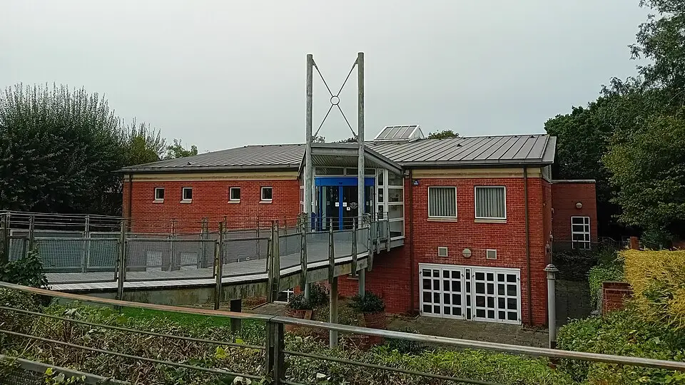
PlanningFour demolition-related planning applications listed in Essex in October 20264 applications were listed across Essex in October 2026: 3 in Harlow and 1 in Brentwood.
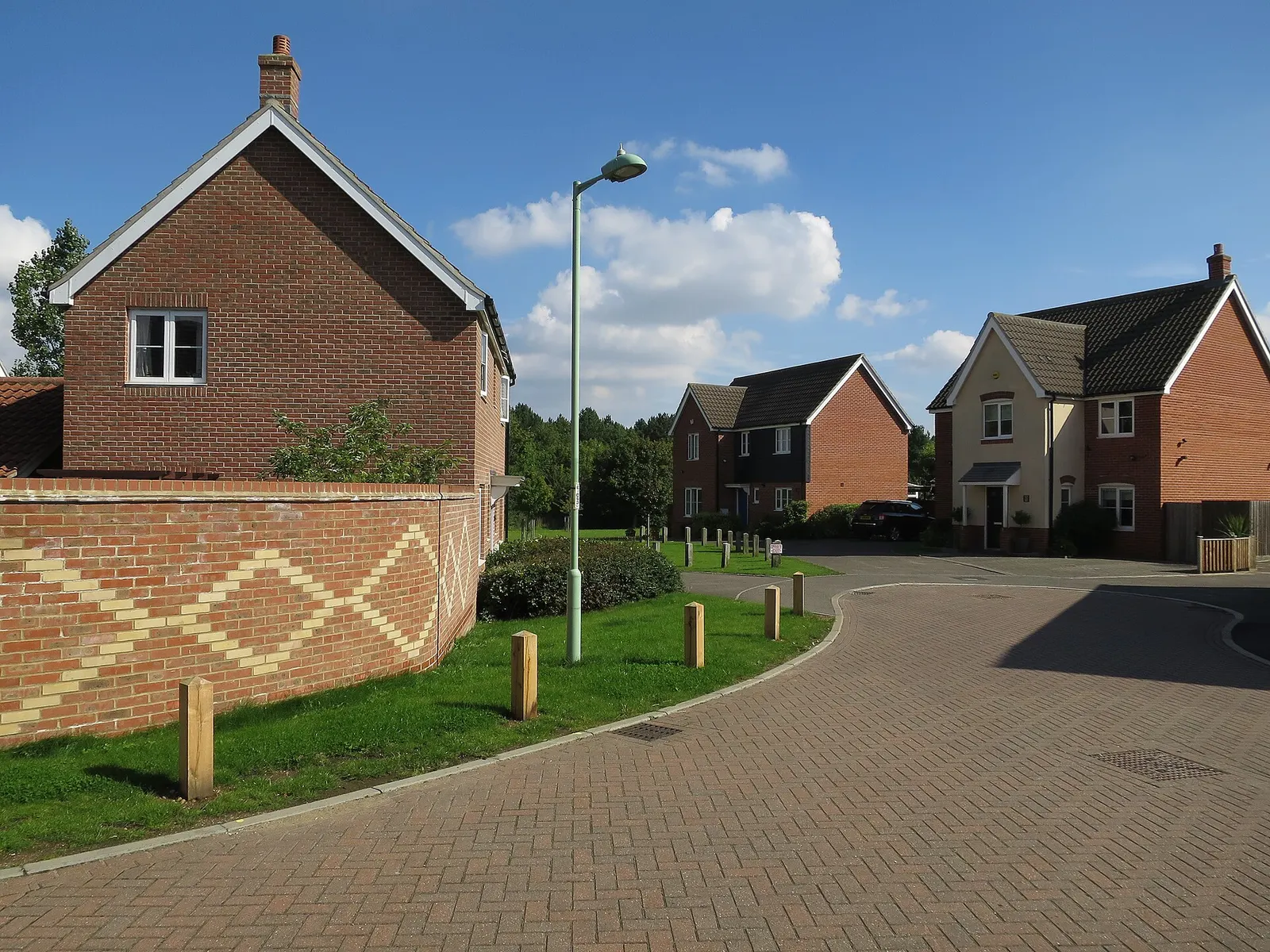
- Planning3 tree-work applications listed across Essex in October 2026
- RoadworksA12 southbound closure near Colchester planned for 28 November
- Power cutsUnplanned power cut affects CO1 1 and CO5 9 areas
- Fuel prices35 Essex forecourts cut petrol prices, with none raising them
- ParliamentClacton records most Essex signatures on election petition